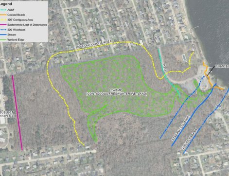
As Geographic Information System (GIS) technology is incorporated into an ever-widening array of uses, Pare Corporation has been at the forefront of GIS implementation to enhance our environmental, transportation, site development, and land use planning projects. Unlike many firms solely providing GIS services, Pare is, first and foremost, an engineering firm. As such, Pare is knowledgeable of those issues facing local communities, state and regional governments, private developers and industry. Our expertise includes needs assessment, data acquisition and processing, asset management, GIS-based modeling, and 3D analysis/visualization.
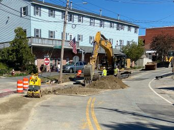
Pare uses sophisticated modeling and geoprocessing as a tool on virtually every project we undertake. From simple locus mapping to sophisticated modeling, our GIS talents and experience provide our clients with the highest level of service using the most up-to-date methods of geospatial analysis and decision-making. Pare uses both desktop and online applications of GIS software to enhance projects that require sophisticated mapping and geospatial analysis. We are constantly evaluating projects for the potential to utilize GIS technologies to streamline project workflows and to provide our clients with deliverables that best serve their needs. Pare also utilizes modeling software for utility analysis that operates in a GIS-based environment.